
Kansas Neighbors: Sources for One Block
Kansas has no single parcel viewer for every county. First place the address in its county, then use that county's map and appraiser records; Johnson County AIMS and Sedgwick County's Mobile Land Records are inspected examples, not a statewide system. Wichita adds city layers and an association contact directory. These sources can locate parcels and public contacts, but none supplies a complete list of people living on the surrounding block.
| Source | What It Shows About a Block | Access |
|---|---|---|
| County GIS parcel map | Adjacent parcels, parcel IDs, roads, and map layers | County viewer; tax-map limits apply |
| County appraiser card | Owner or taxpayer, parcel, value, mailing and situs fields | County search or counter |
| Deeds and plats | Recorded parties, lot and block, subdivision, easements | County Register of Deeds; portal, counter, copy request, or older books |
| Wichita GIS and MABCD layer | Address, case, parcel, ZIP, status, milestone, and date fields | City map and public ArcGIS service |
| Wichita association directory | Association names, boundaries, public contacts, and meeting details | Official city page; no universal member list |
| VoterView | Confirmation for a named voter and that person's registration address | Online search requires first name, last name, and date of birth |
| Directories and Sanborn maps | Dated household clues or building and lot context | Local library, KSHS, LOC, microfilm, and selected digital holdings |
The sources describe parcels, recorded owners, cases, dated entries, or public association contacts. An owner name is not proof that the owner lives at the site, and a map line does not by itself settle a legal boundary. Use the record type that fits the question, then confirm details with its custodian. Kansas neighbors can be understood only as far as these dated records support.
Mapping a Kansas Address Parcel by Parcel
Start with one address and move outward through the map. A direct radius or buffer search was not located in the county viewers reviewed for Kansas, so do not promise an exact circle or automated list. The practical method is to select the target parcel and inspect touching parcels one at a time. If the project is about every property on a named street, the full Kansas street directory process covers that broader address trail.
- Identify the county and open its official GIS or parcel map; use a full or partial street address, parcel number, intersection, or map click where supported.
- Select the target parcel and record the parcel ID, situs address, lot or legal description, and the map's source date if shown.
- Pan or click to each adjacent polygon and note its parcel ID and situs. Check whether a road, alley, drainage strip, utility tract, school, or common parcel lies between them.
- Open the matching appraiser card to compare the owner name with the mailing address and situs address. Record the tax year so separate updates do not look like one event.
- Use the deed index or plat when the address is unclear, then check relevant zoning, flood, city-limit, annexation, ZIP, and neighborhood layers.
- Describe a parcel as map-adjacent unless a recorded plat or survey confirms a shared legal boundary.
Kansas Neighbors in Johnson County AIMS
Johnson County's AIMS map is one detailed county example. Its location search includes owner or name, street address, property ID, township-range-section, AIMS map number, city, ZIP, and intersection; the map can also identify a parcel by click. That mix is useful when an address has been normalized differently or the parcel number is already known. Search options vary in other counties, so treat AIMS as a county tool rather than a Kansas-wide property search.
The AIMS guide describes a parcel result with a tax property ID, situs address, owner fields, owner mailing-address lines, mortgage, appraisal and tax information, acreage, year built, class, neighborhood code, KUPN, taxing unit, and zoning. A card can show why the owner mailing address differs from the parcel location. It is still a property record, not an occupancy roll; another Kansas county may display fewer fields or use different labels.
When a nearby parcel appears under a trust, estate, or organization, keep its recorded name and parcel identifier. The owner's printed address is a clue for following property records, not a reason to infer who is inside the building.
Kansas Neighbors and Sedgwick's Three-Foot GIS Limit
Sedgwick County Mobile Land Records accepts a full or partial address, parcel ID, intersection, map click, or device location. After selecting a parcel, a researcher can pan across nearby polygons and open the property information. The county describes the boundary and measurement layer as tax mapping that is generally within about three feet countywide. That warning matters when a map line appears to touch a driveway, shared strip, road, or drainage parcel.
The county map helps find the right parcel and source record; it is not survey evidence. For a boundary dispute, consult the recorded plat and a licensed surveyor. Check the county appraiser's owner and mailing fields separately, and use the Register of Deeds for the instrument or plat that defines the parcel.
Wichita Map Layers for Kansas Neighbors
Wichita's map service places several kinds of geography beside parcels: city limits, annexation, ZIP, neighborhood association, HOA, historic sites, zoning, subdivisions, utilities, council districts, and school districts. A boundary label can help explain which office or public group serves an address. It does not show who is a member, who is physically present, or who uses a building. Confirm the layer's legend and source before treating its outline as current.
The city's MABCD ArcGIS code layer adds a different kind of address clue. Its public schema includes address, ZIP code, parcel ID, case number, case type and status, milestone, processed date, violation year and quarter, census block group, subdivision name, and geometry. The service has a 2,000-record maximum per response and supports paging. A case record documents a municipal event tied to a place; it does not establish a person's presence or responsibility. Wichita's page and layer are local examples, not a statewide case database.
The Wichita Map Search and GIS page brings together the city's map links and layer groups for public use.
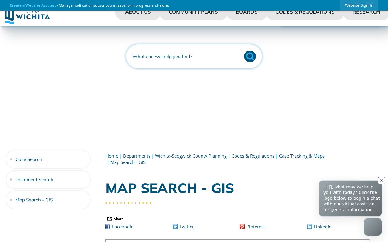
Use the layer name and map legend to tell municipal geography from county parcel data before drawing conclusions from a colored area.
Kansas Neighbors and Wichita Association Contacts
Wichita publishes an association inventory with names, boundaries, contact people, email details, and meeting information. It also identifies HOA entries and a separate map. This is a way to find a public contact or learn where a group meets, not a universal member directory. The city does not list every household on a block, and an association's existence does not prove that a parcel owner participates.
| Listed Group | What the City Page Helps Check | Use |
|---|---|---|
| College Hill | Boundary, public contact, and meeting details | Ask about public neighborhood information |
| Delano | Boundary and listed contact route | Confirm whether an address falls in its area |
| East Front | Group listing and public contact information | Check current page before reaching out |
| Fairmount | Boundary and meeting information where posted | Use the official listing, not a guessed member list |
| Riverside | Association presence and contact route | Ask only for public group information |
| Uptown | Boundary and public meeting details | Verify the address against the current map |
The Wichita neighborhood and homeowner association page lists group names, boundary information, contacts, and meeting schedules where supplied.
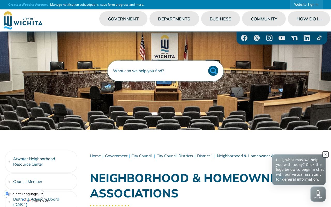
Use the page to identify a legitimate public contact and confirm the mapped group area; it does not publish a universal membership roster.
Kansas VoterView Limits on a Block Search
VoterView is a named-person confirmation tool. It requires a first name, last name, and date of birth, then returns that match's registration and election information. It is not a browse-by-address list of every registered voter on a block. Kansas statutes K.S.A. 25-2320 and 45-230 set conditions on copies and use of voter or public-record name-and-address information; follow the county election office's instructions for a lawful request.
Do not turn a voter file into a general resident directory or use a public-record list to make offers. K.S.A. 45-230 restricts selling or using names and addresses from public records for an offer outside the statutory exceptions. When a public roll does not answer a geographic question, use precinct or district maps for aggregate context rather than trying to identify every person at an address.
Kansas Safe at Home provides eligible participants a substitute address for state and local records and forwards first-class mail. A protected physical location must not be reconstructed by combining parcel maps, voter records, court filings, cemetery records, or old directories. If a record appears redacted or protected, leave the location unresolved and ask the responsible custodian about the public portion that can be released.
Privacy Boundaries for Kansas Neighbors
Official records and commercial neighbor-lookup tools are different categories of source. A county map points to parcels and land data; an appraiser card names a property owner or taxpayer; an association page gives public group contacts. A commercial tool may combine public and licensed data into a suggested profile, but it is not the source custodian and its result may not match the parcel or date. Verify important details with the office or organization that created the record.
| Source Category | Can Help Confirm | Limit |
|---|---|---|
| County GIS and appraiser | Parcel, recorded owner, and mailing/situs distinction | Not every person at the property |
| Public association listing | Group boundaries and public contact channel | Not private members or residents |
| Commercial lookup category | A possible lead to verify independently | Not an official record or a complete block roster |
Property records generally do not name all household members. Utility accounts, delivery routes, and motor-vehicle addresses are not general public resident rolls. Courts and custodians may redact or withhold protected information, and a public map should not be used to work around that choice. Keep any note limited to the record, parcel, and date that can be confirmed. A careful account of Kansas neighbors should describe the public record, not infer the private life of a household.
Lawful, respectful use. Use a public map or contact page for a specific property, history, or community question. Do not use these records to watch, intimidate, harass, or expose a person, and do not try to identify a protected address.